

› short walking distance from path, long walking distance from public transport
- Meråker
 Beds: 8 - available?
 Terrain: forest
 Altitude: 420m
 32V, 0620844, 7031357
 Map: Selbu 107
 Weather forecast: yr.no
 More pictures: here
Source: yr.no
Cabin description
Source: Geonorge
Download PDF map here
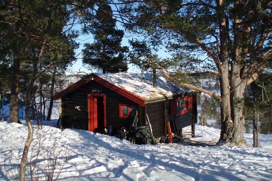
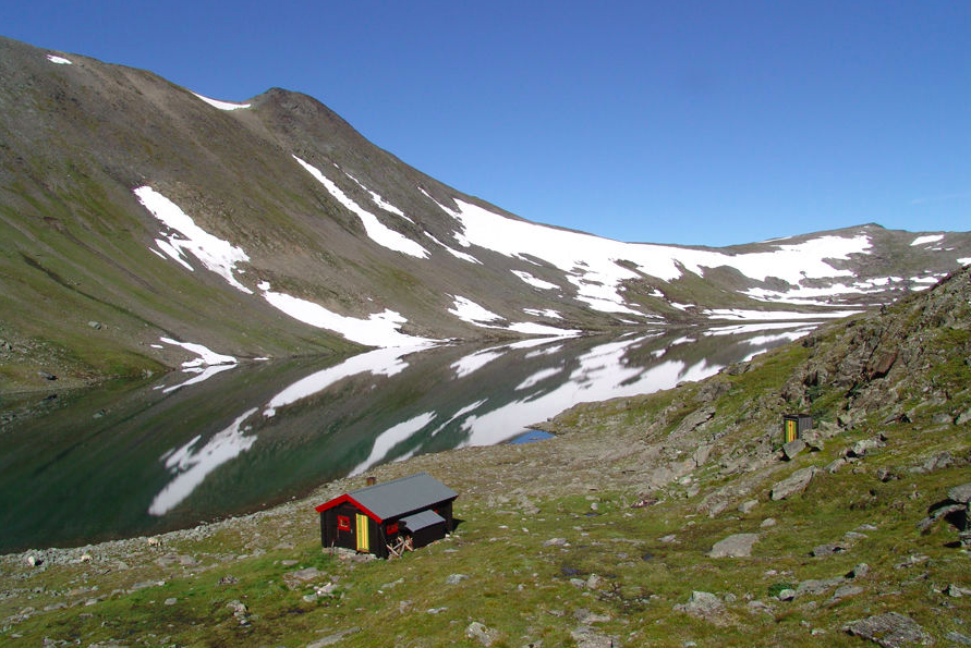
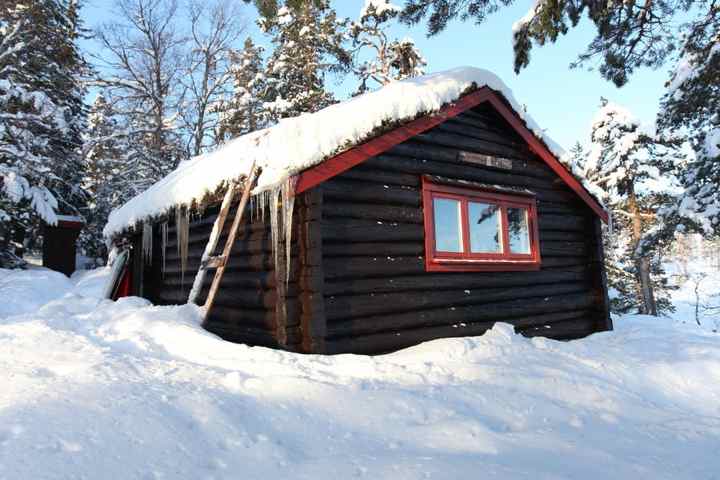
Once upon a time Sonvasskoia was a lonely cabin at Sonvatnet. It was built in 1951 as cabin nr. 2 in the cabin network. But later more and more huts were built around the lake and today there is a road going almost up to the lake. But nevertheless the cabin and the surroundings are special. The terrain is perfect for shorter or longer trips, both summer and winter. The cabin is built in a similar way as Nico- and Fosenkoia. It has beds for eight.
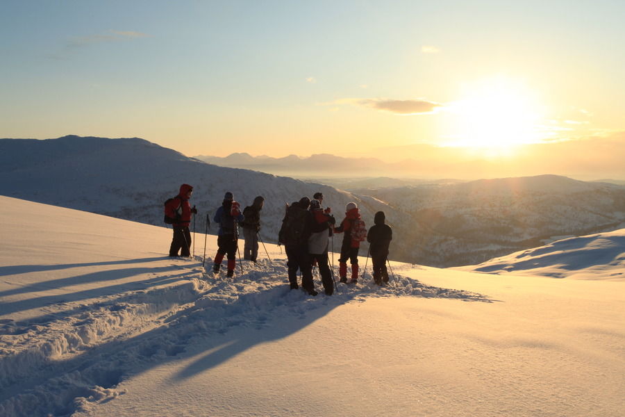
Daytrips can go to Storskarven, Vålåkleppen and Romfohaugen. South of the cabin you can find the national park "Skarvan and Roltdalen". If you continue in that direction you can come to Hognabu, Stabburet and Holmsåkoia.
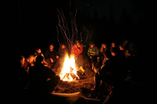
It's also possible to take the canoe (or you skis) to come to the end of the lake, where you can have a nice campfire. The height difference between the two parts of the lake is not big and it's possible to come to the upper lake by boat.
The boat and the canoe you can find in a boathouse close to the lake, east of the stream. For wintertime you will find an ice drill at the cabin. The figures at the walls of the cabin and stories in the cabin book tell a lot about big fish in the lake. One story is about the fish Sebastian (3,222kg, caught 7/9-54).
The cabin is equipped with modern gas burners (Optimus Vega).
Route description
If you have a car or if you want to use your bike, it's easy to reach the cabin. Take of from E14 along StjørdalenYou and drive the toll road in Sonndalen (direction south). At Sildrebekken there is a huge parking place and a good path goes from the souther side of the river and up to Vestre Sonvatn. From Vestre Sonvatn, you find the cabin easies by following the lake, ca. 1km until you find a hut on a small hill at the lake. From here you can follow the stream which passes Sonvasskoia, in ca. 300 meters. The cabin is not that easy to see from other directions!
If you come with bus, this is the best way to get to Sonvatn: Ask the bus driver to stop at Kjeldbergneset in Flora. Walk over the bridge 200 meters to the east. Thereafter, follow the road going west in ca 1.2 kilometers. Take a sharp turn to the left and follow the sign towards Seteråsen parking. Follow the marked scooter traks/path from the paring lot and in to Sonvatna. Here is a map of the route from Kjeldbergneset in Flora and in to the parking lot at Seteråsen:
map.
Alternatively you can come from Sona, Gudå, Meråker or Vindsmyr. In winter you will find a scooter track which starts at the end of the road from Måland and goes in to Sonvatnet. The route from Gudå is challenging, especially in winter, with approximately 700 altitude meters. Both bus and train stop at Gudå.
Extract from the cabin matrix
The table may be scrolled sideways.
| FACTS | Bed places | Table places | Year | Terrain | Bike | Summit trip | Hunting/ Fishing | Guitar | Waffle iron | Specialities | |
|---|---|---|---|---|---|---|---|---|---|---|---|
| Sonvasskoia | 8 | 12 | 1951 | F | x | x | x/x | x | - | canoe, ice drill |
| TRAVEL TIME | Private car | Public transport | |||||||||||
|---|---|---|---|---|---|---|---|---|---|---|---|---|---|
| Driving time | Summer | Winter | Trans port | Driving time | Summer | Winter | |||||||
| Walking time | Total travel | Walking time | Total travel | Walking time | Total travel | Walking time | Total travel | ||||||
| Sonvasskoia | 1:15 | 1:00 | 2:15 | 1:00 | 2:15 | bus/ train | 1:15 | 4:00 | 5:15 | 4:00 | 5:15 | ||
| TRANS- PORT | Alt. | Transport | Route via | Exit | |
|---|---|---|---|---|---|
| Sonvasskoia | 1 2 | Nettbuss Tog SJ | Trondheim - Stjørdal - Meråker - Storlien Trondheim - Östersund | Sona, Flornes eller Gudå Gudå |
Check The Cabin Matrix for more information and comparison with other cabins.
Parking
Summer and winter time: Parking place at Sildrebekken in the end of Sondalen.

